Oklahoma State Facts
Oklahoma state facts include a wide variety of landscapes and fascinating history. Think Oklahoma is boring? Think again. Here are some fun Oklahoma state facts you may not be aware of.

Oklahoma Has Mountains
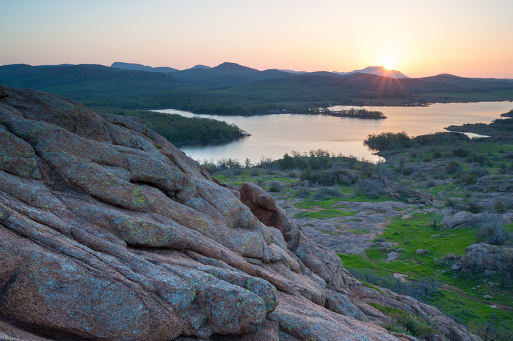
Oklahoma’s geography includes forests, a couple of mountains and some sand dunes. The Wichita Mountains are located near Lawton, Oklahoma, and Buffalo Mountain can be found near Talihina, Oklahoma in the Southeastern corner of the state. Neither mountain is majestic like the Rockies, but hey…a mountain is a mountain.
Plus, you don’t have to worry about altitude sickness. The highest spot in Oklahoma is the Black Mesa, located in Cimarron County in Oklahoma’s panhandle. At 4,978 feet, it’s well below the minimum of 8,000 feet above sea level. No need to worry about nosebleeds.
Oklahoma has a wide range of amazing vistas from deep, wooded forests to salt fields and sand dunes. The Red River runs east and west, providing the border between Oklahoma and Texas, and the Arkansas River runs north and south.
Oklahoma Is Big-Ish
One of the Oklahoma state facts you might not be aware of is how big Oklahoma is. Containing 69,919 square miles, Oklahoma ranks eighteenth in size in the United States. If you look at a map of Oklahoma, you’ll see it’s shaped like a rectangular pan with a long handle, or you might think it’s shaped like the blade of a cleaver. The Red River forms the southern boundary is responsible for Oklahoma’s jagged edge.
But whatever it looks like to you, there’s plenty of room. When it’s judged by land mass, Oklahoma City is one of the largest cities in the United States at 620 square miles.
Ancient People Lived in Oklahoma

Some of the earliest people to live in Oklahoma were the Mississippi Moundbuilders. These people lived near what is now Spiro, Oklahoma from about 500 AD to 1500 AD. This civilization was rediscovered in 1933 when the Pocola Mining Company uncovered artifacts, including arrow heads, engraved shells, copper plates and pottery. They tunneled into the largest mound, Craig Mound, and extracted the artifacts.
Unfortunately, there were no laws back then to protect archeological digs, and the largest of the mounds, Craig Mound, was destroyed by explosives after the miners were told they could no longer sell the artifacts to private collectors.
Oklahoma Was Visited by Vikings…Maybe
Or maybe not. The jury is still out. Rune stones were discovered near Heavener, Oklahoma in 1923. While some scholars say it is impossible for Scandinavians to wind their way up the Mississippi River to Oklahoma, the Heavener Runestone has markings that resemble Germanic Futhark, one of the oldest of the runic alphabets used during the Middle Ages. In any case, the stone is fascinating to look at, and Heavener, Oklahoma is in a beautiful part of the state.
Coronado Definitely Visited Oklahoma
Mind you, he was just passing through Oklahoma’s panhandle, but he traveled through it twice, both to Kansas and back home again. Sadly, no gold was found in the Sooner state.
Four Countries Claimed Oklahoma Before Uncle Sam Did
Spain was the first country from Europe to claim Oklahoma, and the Royal Standard of Spain flew over the state starting in 1541. Then, Great Britain’s Union Jack took over starting 1663. King Charles the Second gave the land to some of his buddies.
That lasted until 1719 when French explorers Robert La Salle and Bernard de la Harpe claimed the land and named it Louisiana after their king at the time, Louis the Fourteenth. Even Mexico got into the game, claiming the Oklahoma Panhandle between 1821 and 1836.
Indians Were Relocated to Oklahoma

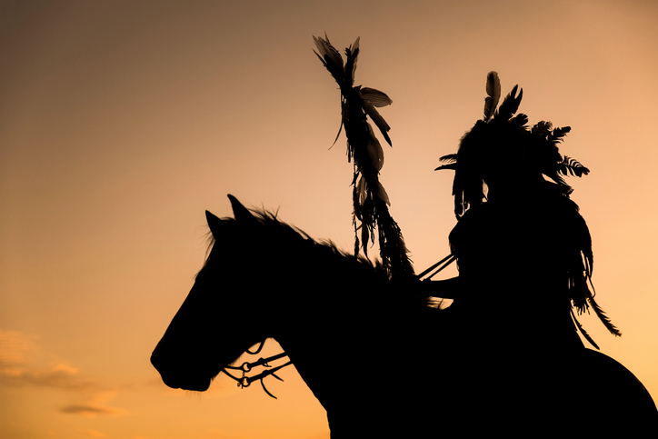
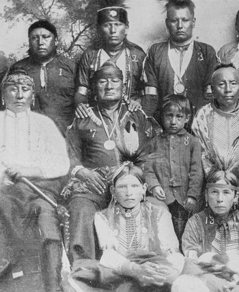
Oklahoma was known as Indian Territory back then and with good reason. The Indian Removal Act of 1830 forced Indians to relocate. The trek was harsh and more than 4,000 Indians died during the journey.
Various tribes were relocated to this area including the Five Civilized Tribes: The Cherokee, Choctaw, Creek, Seminole and Chickasaw tribes. The five different tribes had their own governments, economies and schools.
Land Runs Enabled People to Obtain Free Land

This is probably one of those Oklahoma state facts that most people know about. The Homestead Act, passed in 1862, encouraged settlement in the west. Anyone who was 21 years of age or older, or who was a veteran of the Civil War, who was either a citizen or working toward citizenship could vie for 160 acres of free land.
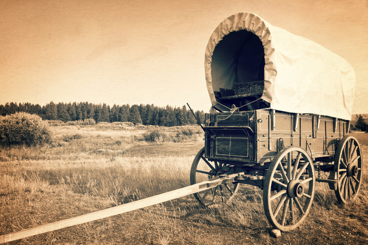
The government opened up more than two million acres of in Indian Territory to allow settlers to come in, starting in 1889. On April 22, a bugle sounded at noon, and men, women and children riding in wagons, horses and sometimes running on foot ran onto the land and stakes their claims.
Other Oklahoma State Facts You May Not Know
Oklahoma Had Two State Capitals
The Oklahoma Enabling Act required Guthrie to become the state capital, and remained so from 1907 until 1910. But when Oklahoma became a state, Oklahoma City wanted the power and prestige that came with being the state’s capital. An election was held and Oklahoma City won by 50,000 votes.
Guthrie was having none of it and the people there claimed their city was still the capital. Governor Charles Haskell settled the matter by moving Oklahoma’s state seal to Oklahoma City, causing considerable controversy. Guthrie demanded a recount, and on the same day that Americans voted Woodrow Wilson in as president, Oklahomans voted to keep the capital in Oklahoma City.